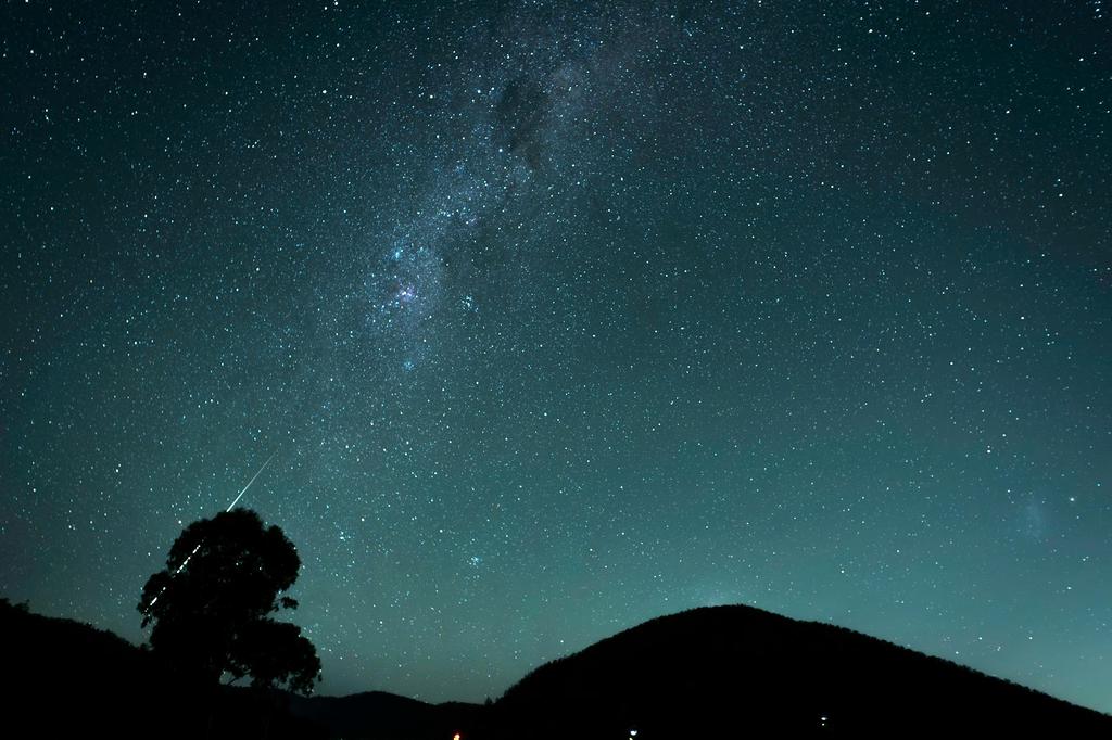
Revolutionizing Exploration with AI-Powered Remote Sensing
Harness the power of artificial intelligence and machine learning to transform satellite imagery into actionable insights for exploration, environmental monitoring, and resource management.
Harness the power of artificial intelligence and machine learning to transform satellite imagery into actionable insights for exploration, environmental monitoring, and resource management.
Accuracy in terrain classification
Faster data processing than traditional methods
Successful exploration projects
Cost reduction in resource exploration
Our advanced AI solutions transform remote sensing data into valuable insights for exploration and environmental monitoring.
Identify geological features, fault lines, and terrain characteristics with unparalleled accuracy using our deep learning algorithms.
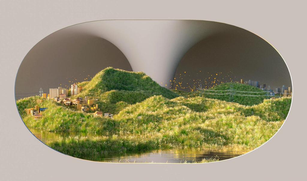
Locate potential mineral deposits, water sources, and natural resources using multi-spectral imaging and predictive AI models.

Track changes in vegetation, water bodies, and land use with automated change detection algorithms for conservation efforts.

Anticipate natural disasters through pattern recognition in satellite imagery, helping to mitigate risks and save lives.

Create detailed 3D terrain models from satellite imagery for exploration planning, infrastructure development, and analysis.
Process satellite imagery in real-time to provide immediate insights and respond quickly to changing conditions in the field.
Powered by state-of-the-art technologies and algorithms that deliver exceptional results.
Advanced neural networks that learn from vast datasets to identify patterns invisible to the human eye.
Capture data across multiple wavelengths to reveal hidden features and characteristics.
Scalable infrastructure that processes petabytes of satellite data efficiently and securely.
Advanced algorithms that forecast changes and identify trends for proactive decision-making.
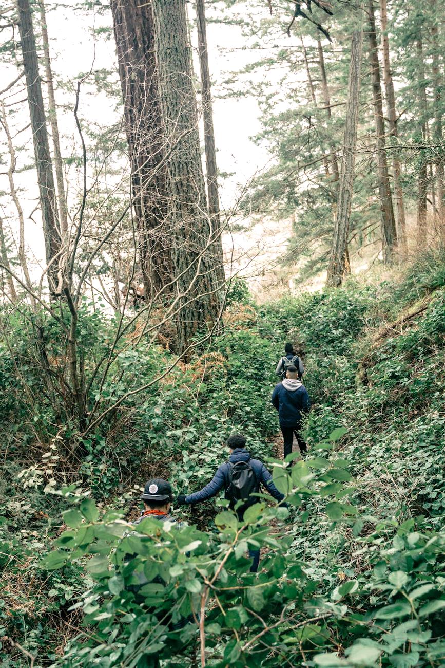
Real-world applications of our AI-powered remote sensing technology.

Using our AI-powered remote sensing technology, Vortex Mining reduced exploration time by 65% and discovered a significant copper deposit that conventional methods had missed.
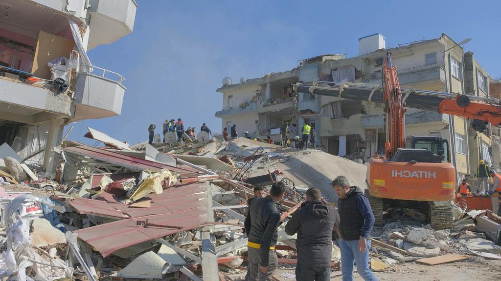
Our technology helped humanitarian organizations respond rapidly to severe flooding by identifying damaged infrastructure, isolated communities, and safe evacuation routes.
For a major conservation organization, our AI solution monitored deforestation, detected illegal activities, and identified critical habitats for endangered species.
Hear from professionals who have transformed their exploration capabilities with our technology.

Chief Geologist, QuadroMinerals
"The AI-powered remote sensing technology completely transformed our exploration strategy. We identified promising sites in days rather than months, and the accuracy of the terrain analysis is remarkable."

Director, Global Conservation Initiative
"We've been able to monitor vast areas of protected forest with incredible precision. The real-time alerts about potential threats have been invaluable for our conservation efforts and resource allocation."

Emergency Response Coordinator, WorldAid
"During the cyclone response, having access to AI-analyzed satellite imagery made all the difference. We could see exactly which areas were most affected and plan our response accordingly. It saved countless lives."
Subscribe to our newsletter for the latest updates on AI in remote sensing technology, case studies, and industry insights.